|
||
|
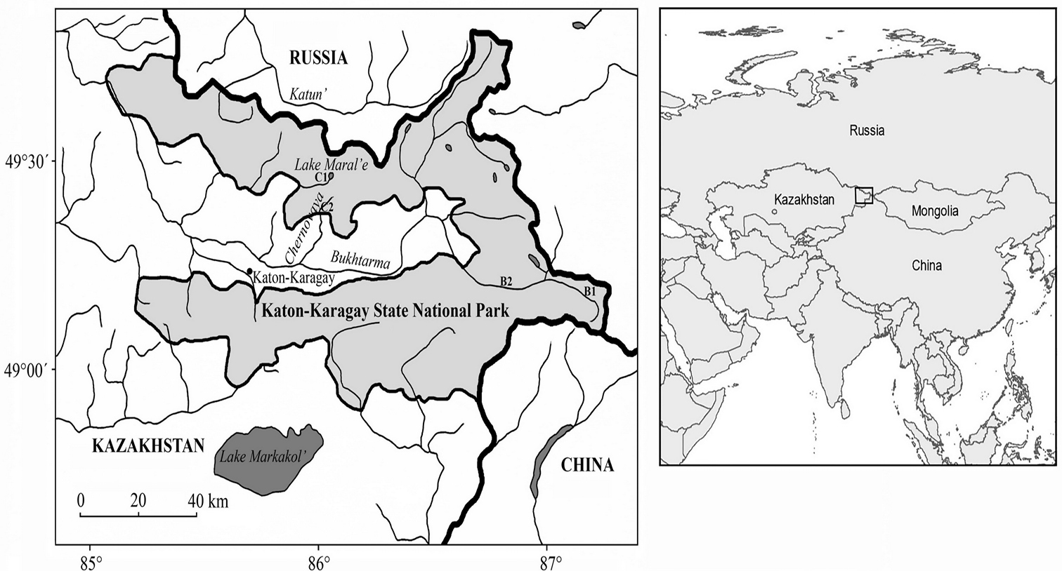
Map of the Katon-Karagay State National Nature Park. Explored sites: Archatinskoe Forestry: B1 – upper reaches of the Bukhtarma River; B2 – valley of the Bukhtarma River; Chernovinskoe foresty: C1 – southern principal slope of the Listvyaga Range, Lake Maral’e; C2 – upper reaches of the Chernovaya River (the map base was adopted from Ibisch et al. 2015). |